
News · Franklin
Franklin still asking water customers to cut back as the Harpeth runs at less than half its normal flow and extreme drought spreads in Williamson County
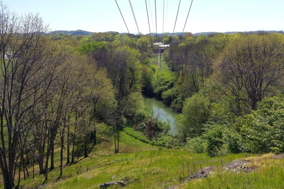
FRANKLIN — The city of Franklin is still asking customers in its water service area to voluntarily cut back on water use, because the Harpeth River has dropped below the level where the city can draw drinking water from it, the Williamson Herald reported Tuesday. The request began Oct. 20, and federal data show conditions have only gotten drier since.
The Harpeth and the Cumberland are Franklin’s two drinking water sources. With the Harpeth too low for withdrawals, the city said it is relying on its reservoir to keep its treatment plant supplied. There are no mandatory restrictions, and city officials said they will keep watching conditions.
How low is the river? The U.S. Geological Survey gauge on the Harpeth below Franklin read 16.2 cubic feet per second early Saturday. Over 37 years of records, the median flow for that date is 40 cubic feet per second, so the river was running at about 40% of normal. The lowest reading ever logged on that date was 7.9, in 1994. Daily averages slid from 21.5 on Oct. 20, the day the city made its request, to about 19 by Monday, USGS data show.
The Army Corps of Engineers gauge at Franklin showed 15 cubic feet per second at 11:15 a.m. Eastern on Tuesday, with no rain recorded.
Drought went from zero to extreme in seven weeks. We pulled the U.S. Drought Monitor’s county figures for Williamson County. On the Sept. 1 map, 78% of the county was not in drought at all. By Sept. 22, 70% was in moderate drought. By Oct. 6, 60% was in severe drought. On the latest map, dated Oct. 20, all of the county was in severe drought or worse, and about 16% was in extreme drought, up from about 7% a week earlier. The next map comes out Thursday.
Who this applies to. Not every Franklin address is on city water. The request covers customers in the city’s water service area, so check who sends your water bill. Neighbors on other utilities should watch for notices from those providers.
What helps most. The Tennessee Department of Environment and Conservation’s drought page lists simple steps: skip lawn watering, or water only early or late in the day; fix leaky faucets and hoses; run dishwashers and washing machines only when full; take shorter showers; sweep driveways instead of hosing them; and use a car wash that recycles water. Franklin’s Water Management Department posts more tips on its conservation page at franklintn.gov.
Early, voluntary cuts are the cheapest way to avoid mandatory rules later, the state says. TDEC also keeps a dashboard of Tennessee water systems that have asked customers to conserve, linked from its drought page.
Sources:
Williamson Herald, “Franklin asks water customers to conserve as drought lowers Harpeth River,” Oct. 27, 2026 (city request, two sources, reservoir, voluntary), https://www.williamsonherald.com/communities/franklin-asks-water-customers-to-conserve-as-drought-lowers-harpeth-river/article_7723e328-927a-411f-b17e-caf79237bb74.html
WSMV-TV, “Franklin asks residents to voluntarily conserve water. Here’s why,” Oct. 20, 2026 (start date, city post), https://www.wsmv.com/2026/10/20/franklin-asks-residents-voluntarily-conserve-water-heres-why/
U.S. Drought Monitor, county statistics for Williamson County, Sept. 1 to Oct. 20, 2026 maps, https://droughtmonitor.unl.edu/DmData/DataTables.aspx?county,47187
U.S. Geological Survey, Harpeth River below Franklin (03432400), current conditions and daily values, https://waterdata.usgs.gov/nwis/uv/?site_no=03432400
U.S. Army Corps of Engineers Nashville District, Harpeth River at Franklin, https://water.usace.army.mil/office/lrn/data/frat1-harpethr-franklintn
Tennessee Department of Environment and Conservation, Drought Updates, https://www.tn.gov/environment/program-areas/wr-water-resources/drought-updates.html
Photo: Afewanoncontribs, “Fort Granger - Franklin TN - View of the Harpeth River from fort site observation deck 01.jpg,” Wikimedia Commons, CC BY-SA 4.0 (https://creativecommons.org/licenses/by-sa/4.0/), cropped and color-adjusted, https://commons.wikimedia.org/wiki/File:Fort_Granger_-_Franklin_TN_-_View_of_the_Harpeth_River_from_fort_site_observation_deck_01.jpg
