
News · Upper Cumberland
State forms a Plateau Water Planning Partnership to plan Crossville and Cumberland County’s water future, with members due Dec. 10 and a report by November 2027
CROSSVILLE — The state is putting together a new group to answer a question that keeps coming up on the Cumberland Plateau: where will Crossville and the communities around it get enough water as they grow?
The Tennessee Department of Environment and Conservation announced this week that it is forming the Plateau Water Planning Partnership at the request of House Speaker Cameron Sexton, a Crossville Republican, and local officials. The partnership will help communities, local governments and water utilities on the Upper Cumberland Plateau, “anchored by Crossville,” evaluate ways to strengthen their water supply for current and future needs, TDEC said.
What the group will do. According to TDEC, the partnership is responsible for:
• Developing regional water supply recommendations for local officials, state agencies and lawmakers that balance the needs of water users and economic growth with the health of the Plateau’s river systems.
• Advising on policies to promote water system regionalization, drought resilience, habitat conservation and water loss reduction.
• Engaging communities, utilities, industries and conservation groups in the planning.
“Cumberland County and the surrounding area have made significant strides toward thoughtful water supply solutions over the past few years,” TDEC Commissioner David Salyers said. He said the department stands ready “to help stakeholders focus on building relationships and identifying solutions that can best position communities of the Plateau to balance economic growth with conserving our important natural resources.”
Who sits at the table. TDEC and Sexton will pick the members. The list calls for the Crossville mayor and the Cumberland County mayor; one member each from the state House and Senate; representatives of the Comptroller’s Division of Local Government Finance, TDEC, the Department of Economic and Community Development or the Upper Cumberland Development District, the Tennessee Wildlife Resources Agency and the Department of Agriculture; and representatives of The Nature Conservancy’s Tennessee chapter, the Cumberland River Compact and Tennessee Tech.
The timeline. Members are to be named by Dec. 10, 2026. A kickoff meeting is planned by Jan. 15, 2027. The final report and recommendations are due to local officials, state agencies and legislative leaders by Nov. 22, 2027.
The model. TDEC says the partnership will use a framework like the Duck River Watershed Planning Partnership created under Gov. Bill Lee’s Executive Order 108, and apply lessons from that effort.
What it means for residents and taxpayers. TDEC describes the area as the elevated tableland of the Upper Cumberland, and growth keeps adding demand there: just this week, Crossville announced a $50 million shopping center at I-40 Exit 320 expected to bring 200 jobs. The partnership won’t build pipes or set rates itself; it makes recommendations. But the inclusion of the Comptroller’s local-finance office and the focus on regionalization and water loss point to a conversation about how utilities share supply and cut the cost of treated water lost to leaks. Residents who want a say should watch for the member list in December and the kickoff in January.
All times are Central.
Sources:
Tennessee Department of Environment and Conservation, “TDEC Establishes Plateau Water Planning Partnership,” Oct. 20, 2026 (purpose, duties, Salyers quote, member list, timeline, Duck River model), https://www.tn.gov/environment/news/2026/10/20/tdec-establishes-plateau-water-planning-partnership.html
3B Media News, “New state partnership launched to secure Upper Cumberland water supply,” Oct. 20, 2026 (cross-check), https://3bmedianews.com/new-state-partnership-launched-to-secure-upper-cumberland-water-supply/
Crossville Chronicle, “TDEC establishes Plateau Water Planning Partnership,” Oct. 2026, https://www.crossville-chronicle.com/news/tdec-establishes-plateau-water-planning-partnership/article_0b1b3750-47be-4398-919c-5c90c4e8fd30.html
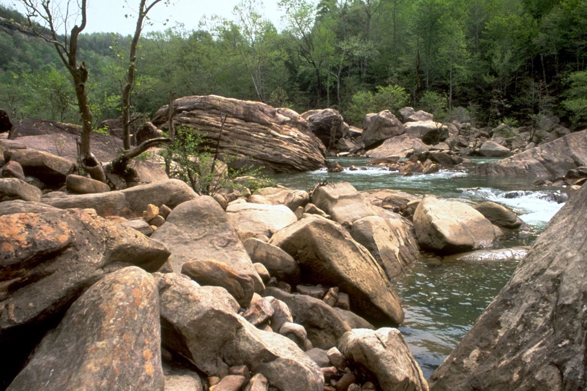
Photo: National Park Service Digital Image Archives, “Obed Wild and Scenic River OBRI4321.jpg,” Wikimedia Commons, public domain, cropped and resized, https://commons.wikimedia.org/wiki/File:Obed_Wild_and_Scenic_River_OBRI4321.jpg
