
News · Nashville
Tennessee Halloween forecast: warm, with rain spreading west to east Saturday night, so Memphis has the worst trick-or-treat odds and East Tennessee the best
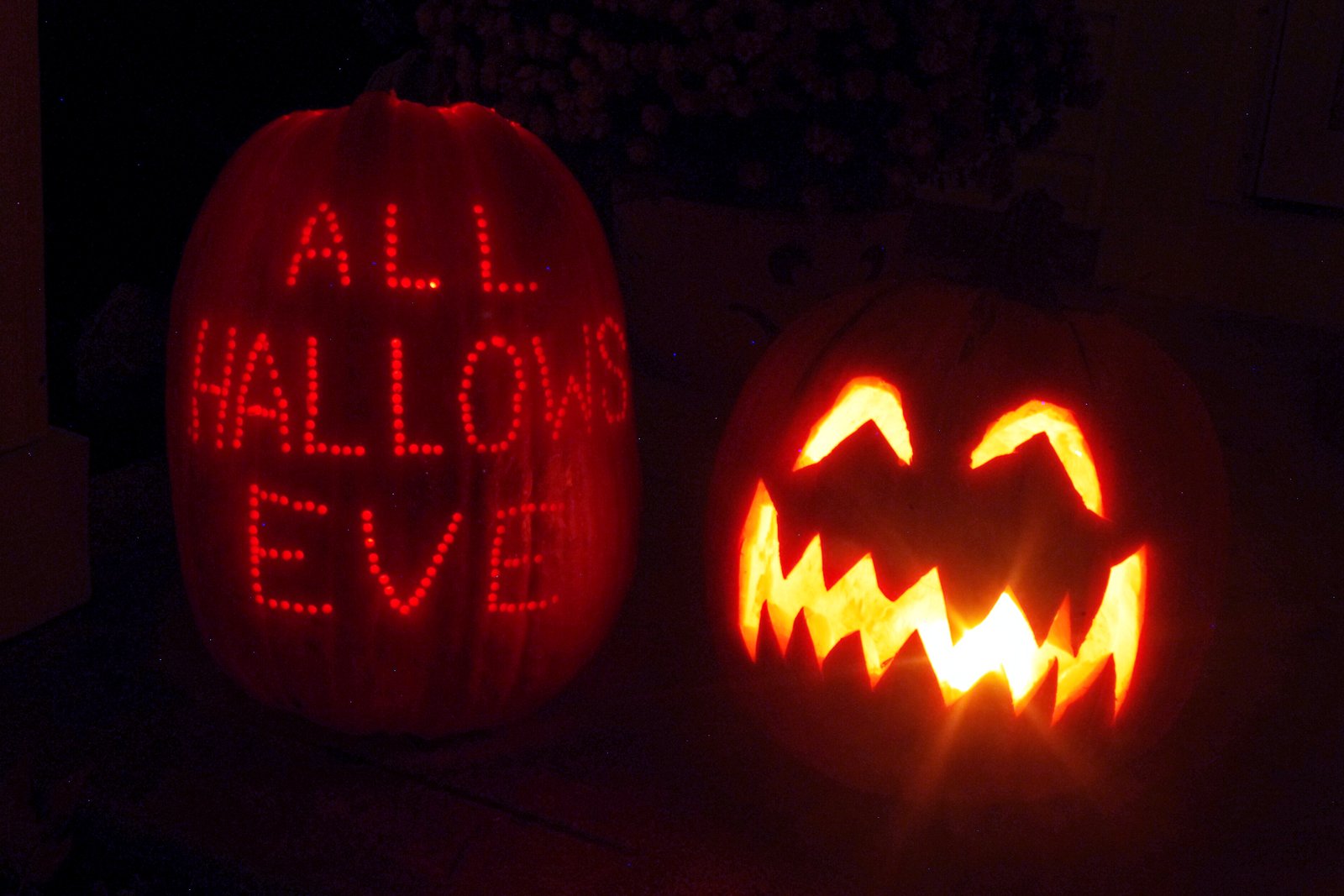
NASHVILLE — Halloween in Tennessee looks warm, and for most of the state it should stay dry long enough for trick-or-treating. The exception is West Tennessee, where showers and thunderstorms are likely by Saturday evening, according to National Weather Service forecasts issued early Wednesday.
A storm system moving in from the west brings rain across the state from west to east Saturday night, Oct. 31, and Sunday looks wet almost everywhere. Before that, Thursday and Friday are sunny or mostly sunny with highs from 75 to 81, and Saturday highs reach the mid-70s.
Trick-or-treat window, city by city. We pulled the weather service’s hourly forecast for 5 to 9 p.m. Saturday:
- Memphis: about a 36% chance of rain early, climbing to 57% after 7 p.m., with thunderstorms possible. Saturday night overall: 74%.
- Jackson: rising to about 42% after 7 p.m.; 67% overnight.
- Nashville: 24% to 30% through the evening, with a 54% chance later Saturday night.
- Chattanooga: 23% to 33%, rising to 51% overnight.
- Cookeville: mostly cloudy and dry Saturday, 8% in the daytime, then a 53% chance of showers and storms Saturday night.
- Knoxville: 4% to 10%, the best odds of any big city in the state.
- Johnson City: 1% to 3%; rain is not likely until Sunday night.
Sunday is the wet day. The weather service puts rain chances at 85% in Nashville, 80% in Cookeville and 78% in Chattanooga on Sunday, Nov. 1, with highs only in the mid-60s to low 70s. Knoxville is at 58%, Memphis 51% and Johnson City 46%, with Johnson City’s odds climbing to 60% Sunday night.
Our read. If you are in Memphis or Jackson, start early. The rain chance jumps between late afternoon and the 7 to 9 p.m. hours, so the 5 to 7 p.m. window is the safer bet, and daytime trunk-or-treats are a good backup. In Middle Tennessee and Chattanooga, most neighborhoods should get through the evening with no more than a passing shower. East Tennessee looks dry and mild. Outdoor events across the state should be watching the same radar, since a few thunderstorms are possible in the west.
The rain is welcome for a state that has been dry this fall. Franklin, for example, has been asking water customers to cut back as the Harpeth River runs low.
Also this weekend: daylight saving time ends at 2 a.m. Sunday, Nov. 1. Set clocks back one hour Saturday night.
Forecasts this far out can shift. Check the latest from the weather service’s Memphis, Nashville and Morristown offices on Friday and Saturday.
Related: Franklin still asking water customers to cut back as the Harpeth runs low
Sources:
National Weather Service, seven-day and hourly gridpoint forecasts for Memphis, Jackson, Nashville, Cookeville, Chattanooga, Knoxville and Johnson City from the Memphis, Nashville and Morristown offices, retrieved Oct. 28, 2026, https://api.weather.gov/ and https://forecast.weather.gov/
Photo: Nheyob, “Jack-o-lanterns 2012.JPG,” Oct. 31, 2012, Wikimedia Commons, CC BY-SA 3.0 (https://creativecommons.org/licenses/by-sa/3.0/), cropped and color-adjusted, https://commons.wikimedia.org/wiki/File:Jack-o-lanterns_2012.JPG
